Isla de los Estados Nature Reserve
The conservation value of the reserve is based on both ecological and historical heritage.
How to get here
La Isla de los Estados se encuentra a 230 km de Tierra del Fuego. Se llega únicamente navegando el canal Beagle hacia el Este desde Ushuaia o por el Mar Argentino desde Río Grande. Luego, se atraviesa el estrecho de Le Maire, uno de los mares más tempestuosos de Sudamérica.
¿Are you in Tierra del Fuego? Check how to get here from your location
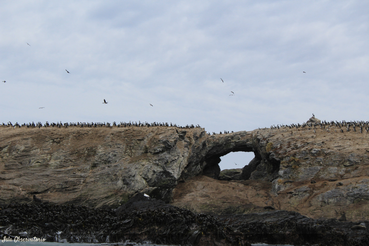
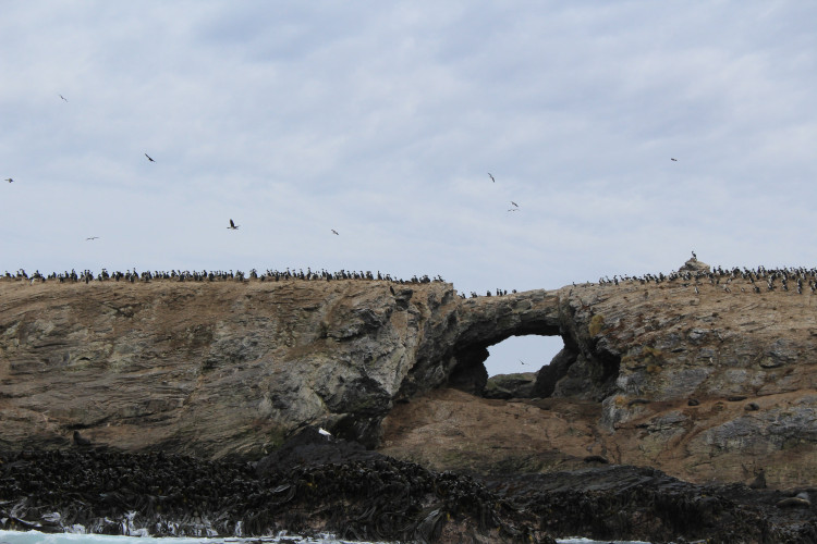
directions_walk directions_carThe coastal avifauna is one of the most important attributes of the Reserve. The presence of the two largest colonies of the yellow tufted penguin (Eudyptes chrysocome) of those recorded in the Argentine Republic and of the southern giant petrel (Macronectes giganteus), an endangered species, is highlighted. The importance of conservation of this area is also given by the presence of critically endangered fauna such as the Huillín (Lontra provocax) and the Chuchungo (Lontra felina); and by the presence of endemic species such as Naussauvia latissima and some species of the genus Senecio (family of the compound), and Festuca cirrosa and Poa darwiniana among the grasses. Among the terrestrial mammals, the guindales mouse (Abrothrix xanthorhinus llanoi) is endemic to the island, and the only registered native mouse.
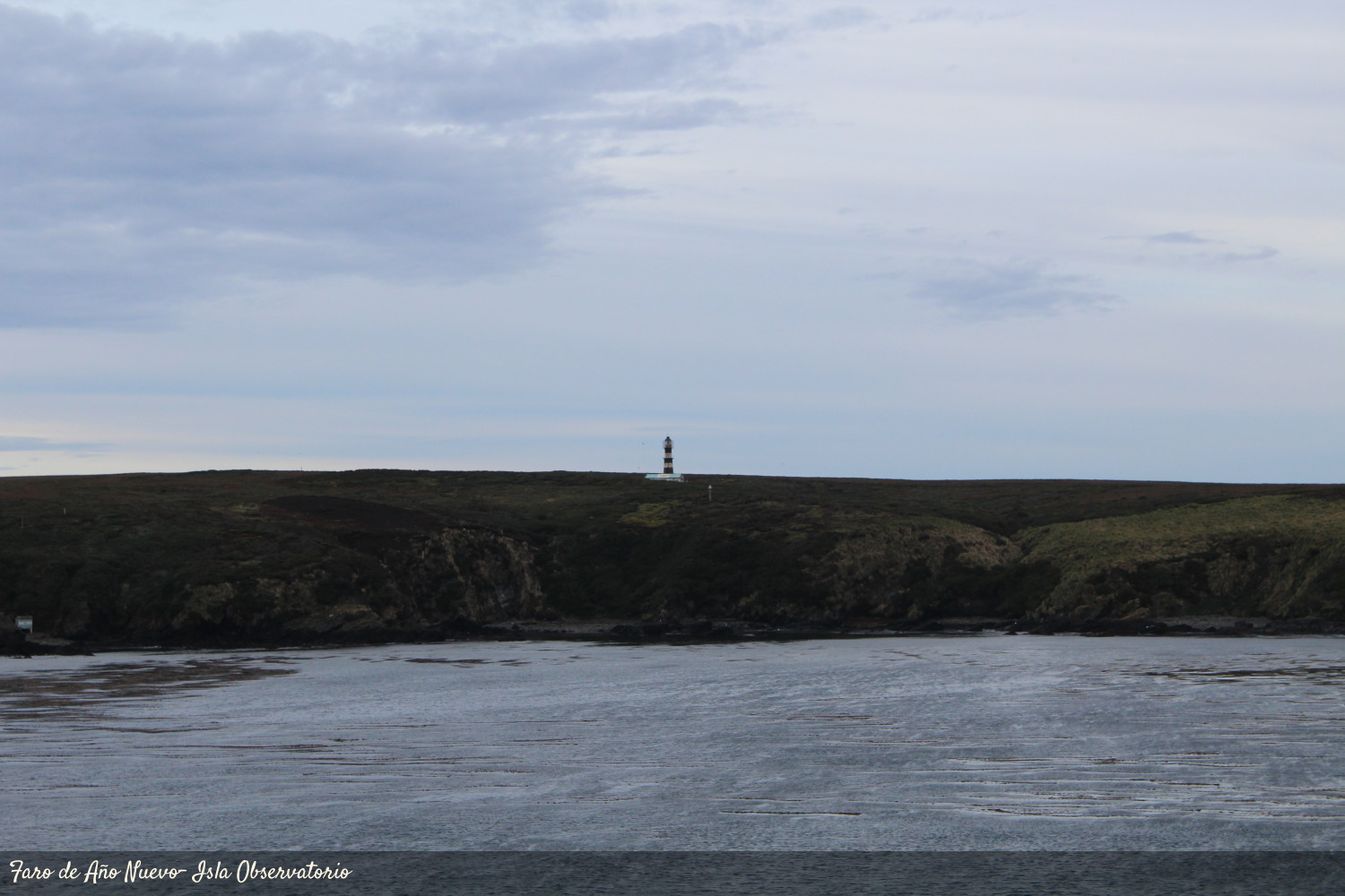
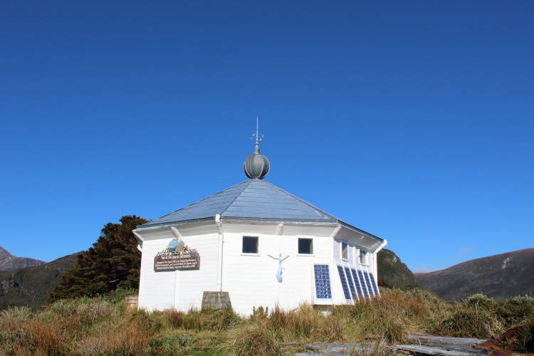
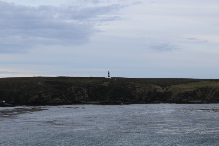
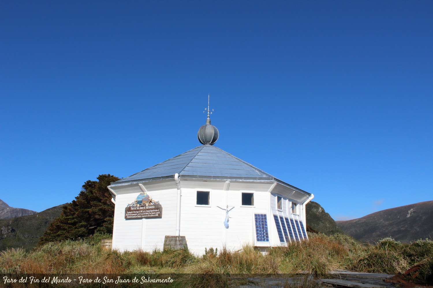
On the other hand, the Historical Heritage of the Island of the State is linked mainly to the remains of the prison facilities, the lighthouse, cemeteries (San Juan de Salvamento and Cook), remains of shipwrecks and a few settlements linked to the activities of wineries and penguins.
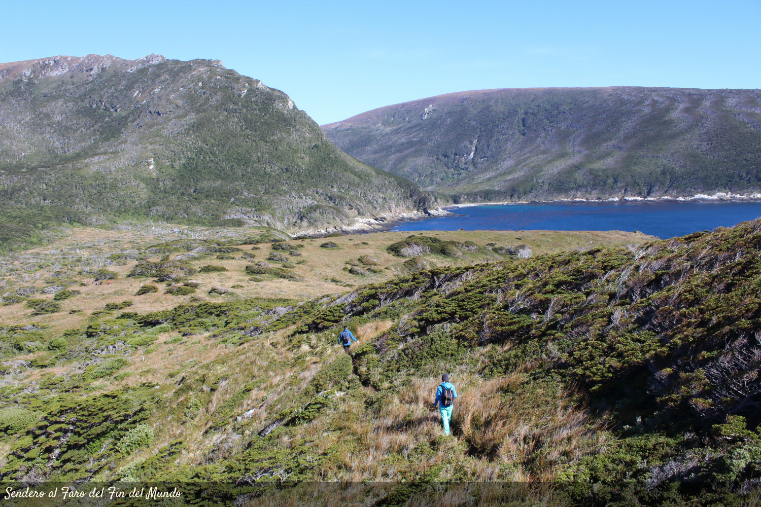
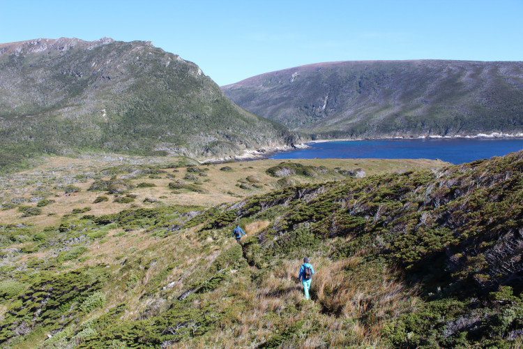
At present, the infrastructure that the reserve has is a permanent prefecture post in Puerto Parry and during the summer season a transitory post is added to the Observatory Island. The extractive use of natural resources is not allowed, but scientific use and tourist activity, not massive and regulated.
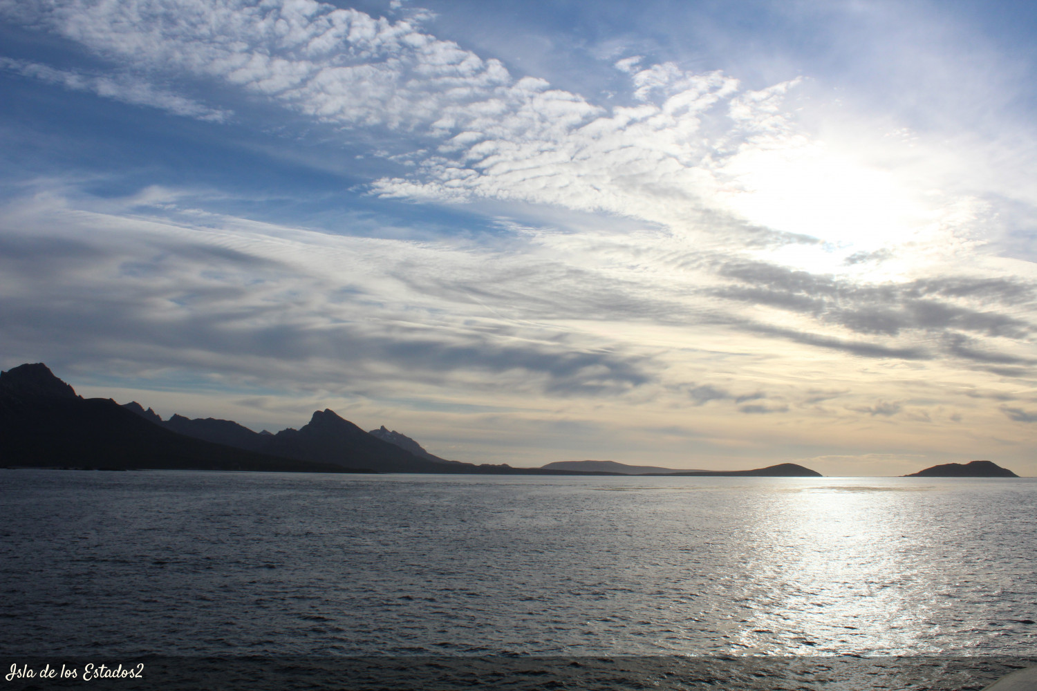
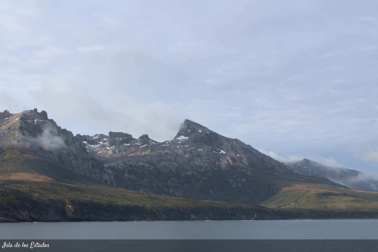
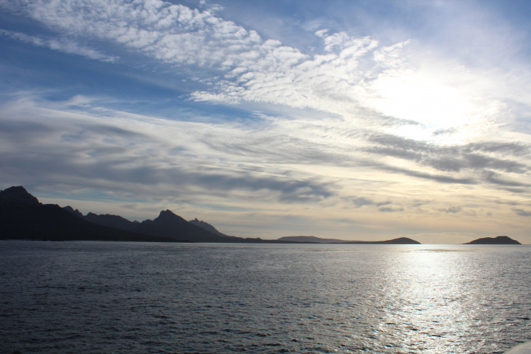
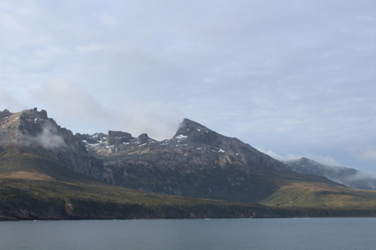
The reserve as a whole comprises an area of 50,736 ha, is composed of a large island, Isla de los Estados, and a group of adjacent islands and Islets. The Island of the States, is 63 km long and a minimum width of 500 meters in the isthmus that connects Cook Harbor with Port Vancouver. Its relief is mountainous corresponding to the eastern end of the Fuegian mountain range. The coasts are very irregular and rugged, forming numerous fjords. The climate is cold of the oceanic type, very humid, with rainfall close to 2,000 mm per year. The winds are very constant, predominantly of NO and SO. The vegetation that predominates is the evergreen cherry forest (Nothofagus betuloides) and canelo (Drymis winterii), with a dense undergrowth of ferns, lichens and mosses that give it a lush appearance. Other plant communities are the gramineous turbales and the coastal pastures of Poa flabellata. Its marine coastline is highlighted by extensive forests of brown algae that are feeding sites for various species of birds and marine mammals.
The Yámanas, the canoe people who were the first to navigate the dangerous Strait of Le Maire in their fragile canoes, called the current reserve Chuanisin which means "place of abundance".
the Constitution of the Province of Tierra del Fuego (Article 54), declared this area as "Ecological, Historical and Tourist Provincial Reserve".