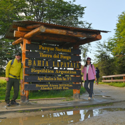
Coastal trail- National Park
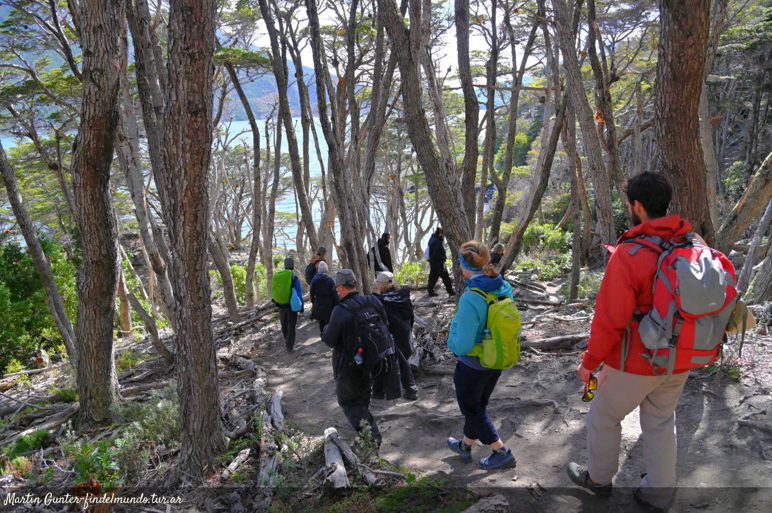
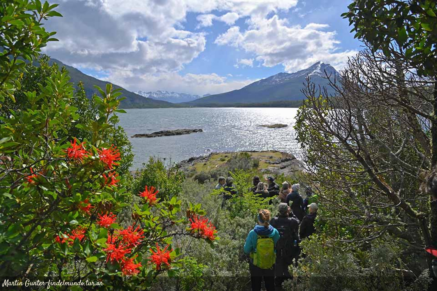
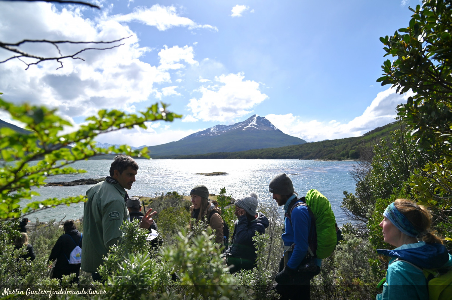
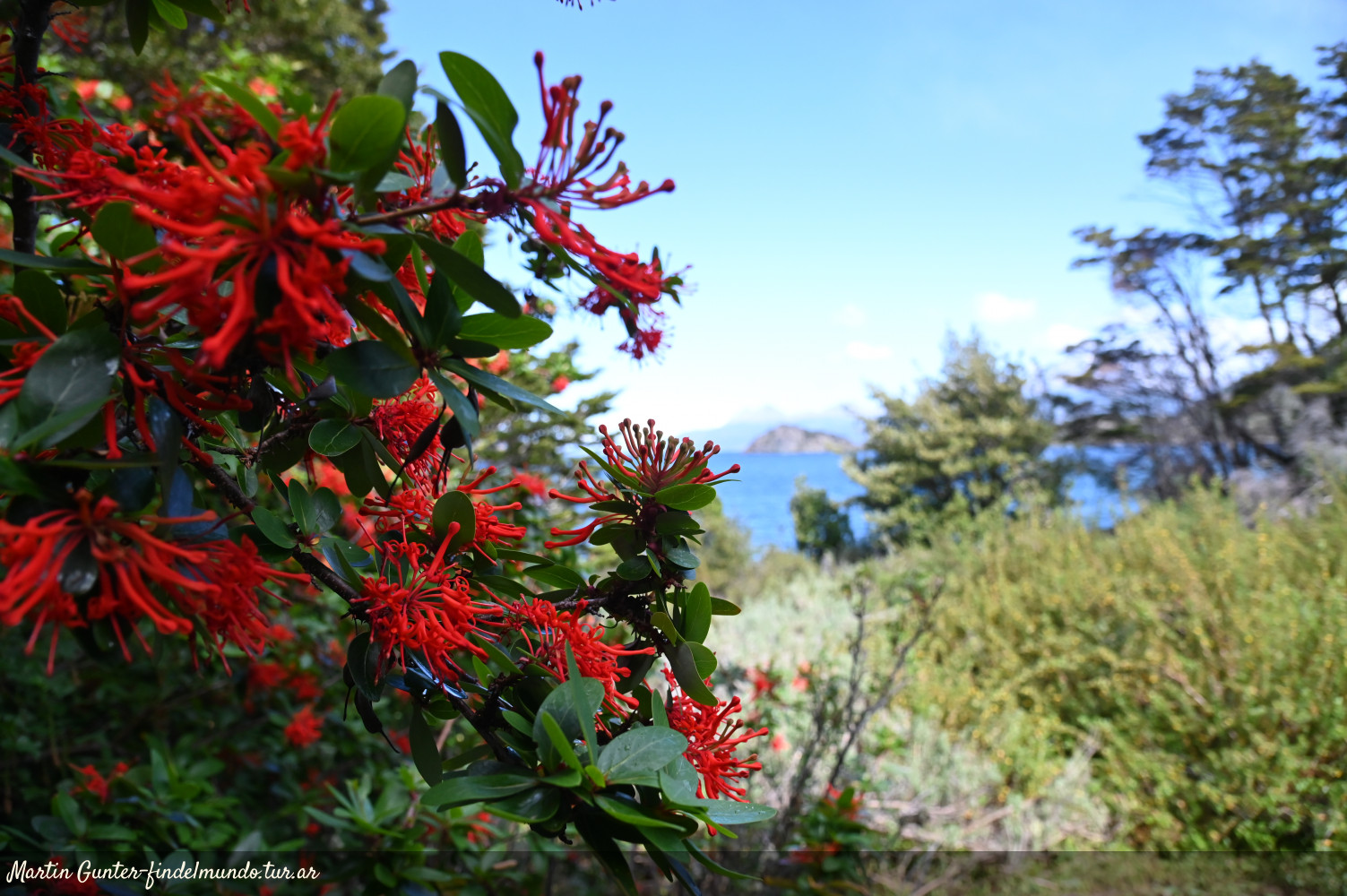
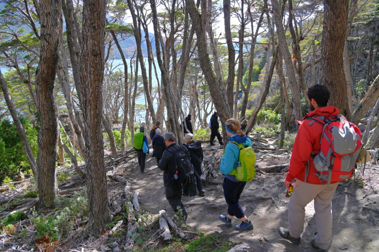
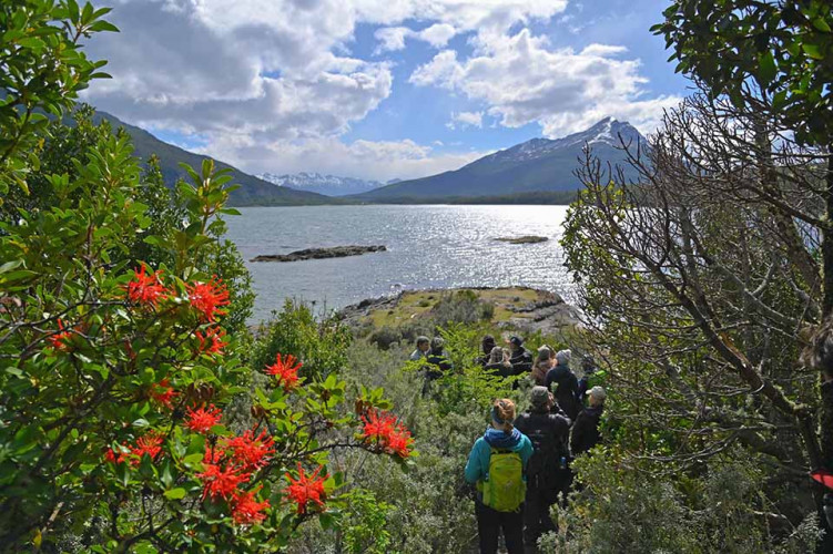
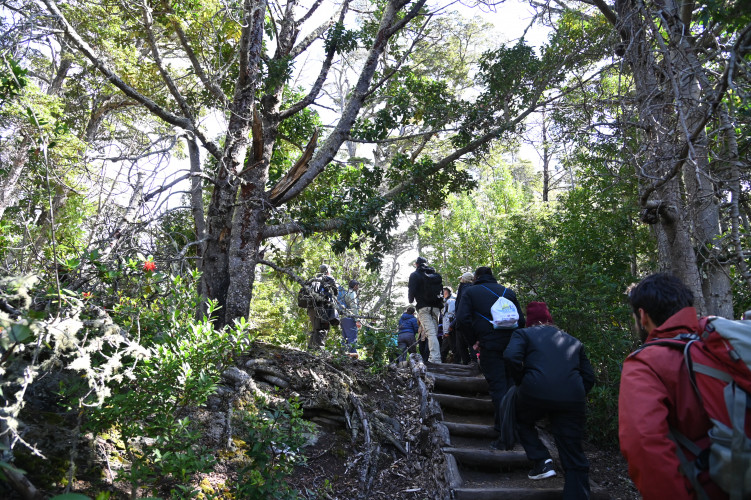
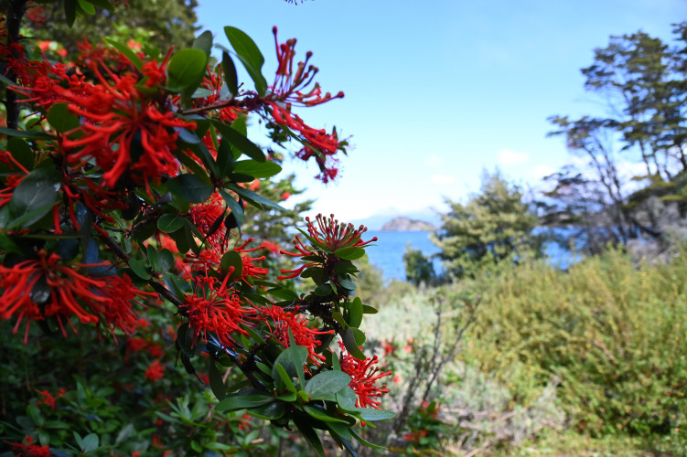
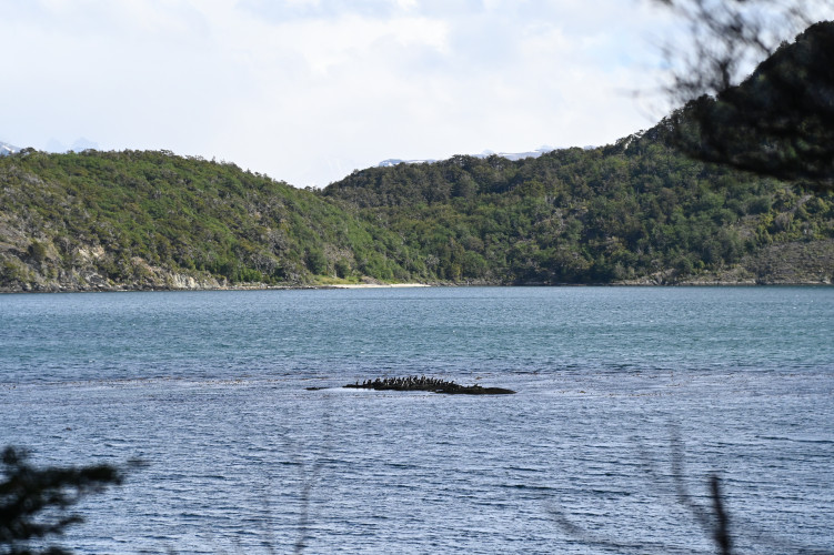
This trail has stunning landscapes, bordering the west coast of the Beagle Channel and going through a dense forest of lengas, ñires, cinnamon trees and notros.
report_problem
IMPORTANT: During autumn/winter season it is necessary to take precautions due to the decrease in daylight hours, below zero temperatures, and icy or snowy conditions on the trails. It's essential to have the proper gear and footwear. In case of emergency call 103.
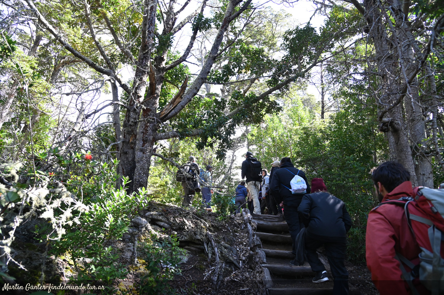
This trail has a medium difficulty. The hike starts at Ensenada Bay, where the information sign is located, and ends near the Alakush Visitors Centre. The total length of the circuit is 8 kilometers (one way).
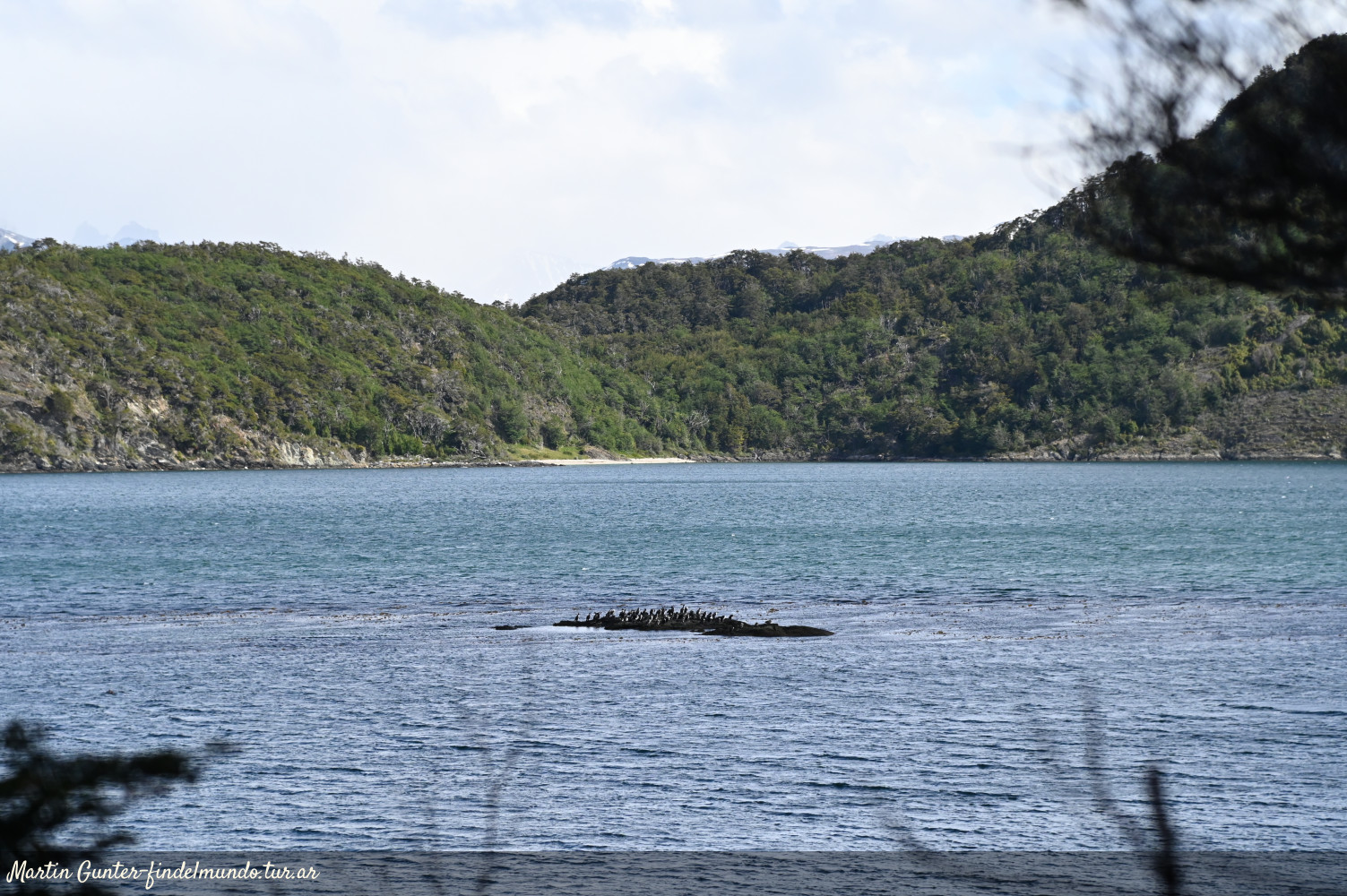
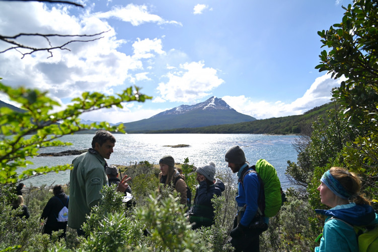
During the walk you will border the coast and go through some slopes of different levels. Some sectors of the trail are usually very muddy, so it is necessary to wear trekking shoes. In this area it is possible to watch different species of birds that inhabit the park and the coast of the Beagle Channel.
It is important to know that this trail takes a long time, so it is recommended to return by bus or private vehicle.
Open