The island's scenic drives
Explore the landscapes and roads of Tierra del Fuego
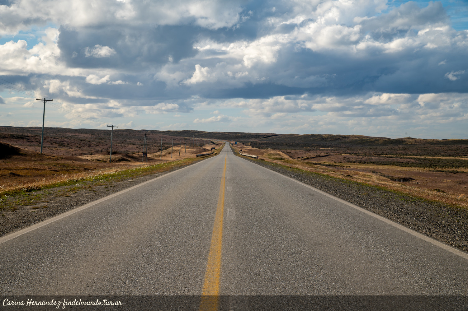
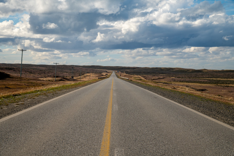
The island of Tierra del Fuego has a variety of landscapes defined by striking contrasts. The northern area is dominated by steppe, large rivers, and the Atlantic Ocean. This is where the southernmost stretch of National Route 3 begins—at the Hito 1, which marks the border with the Republic of Chile. Serving as the province's main access route, it connects the three towns of Tierra del Fuego—Río Grande, Tolhuin, and Ushuaia—as it traverses the Andes mountain range.
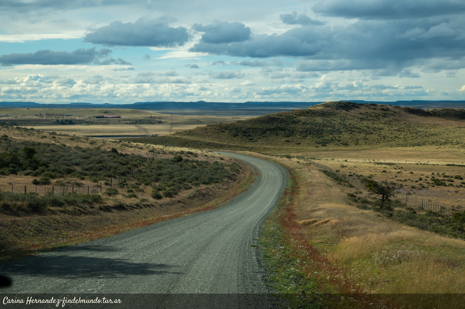
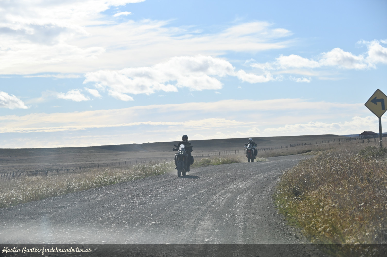
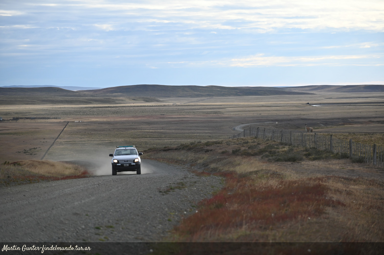
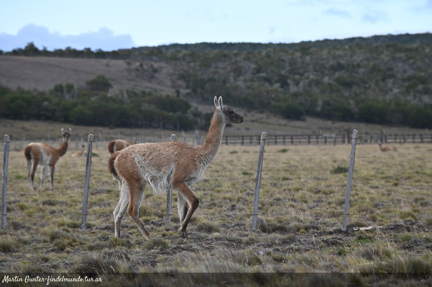
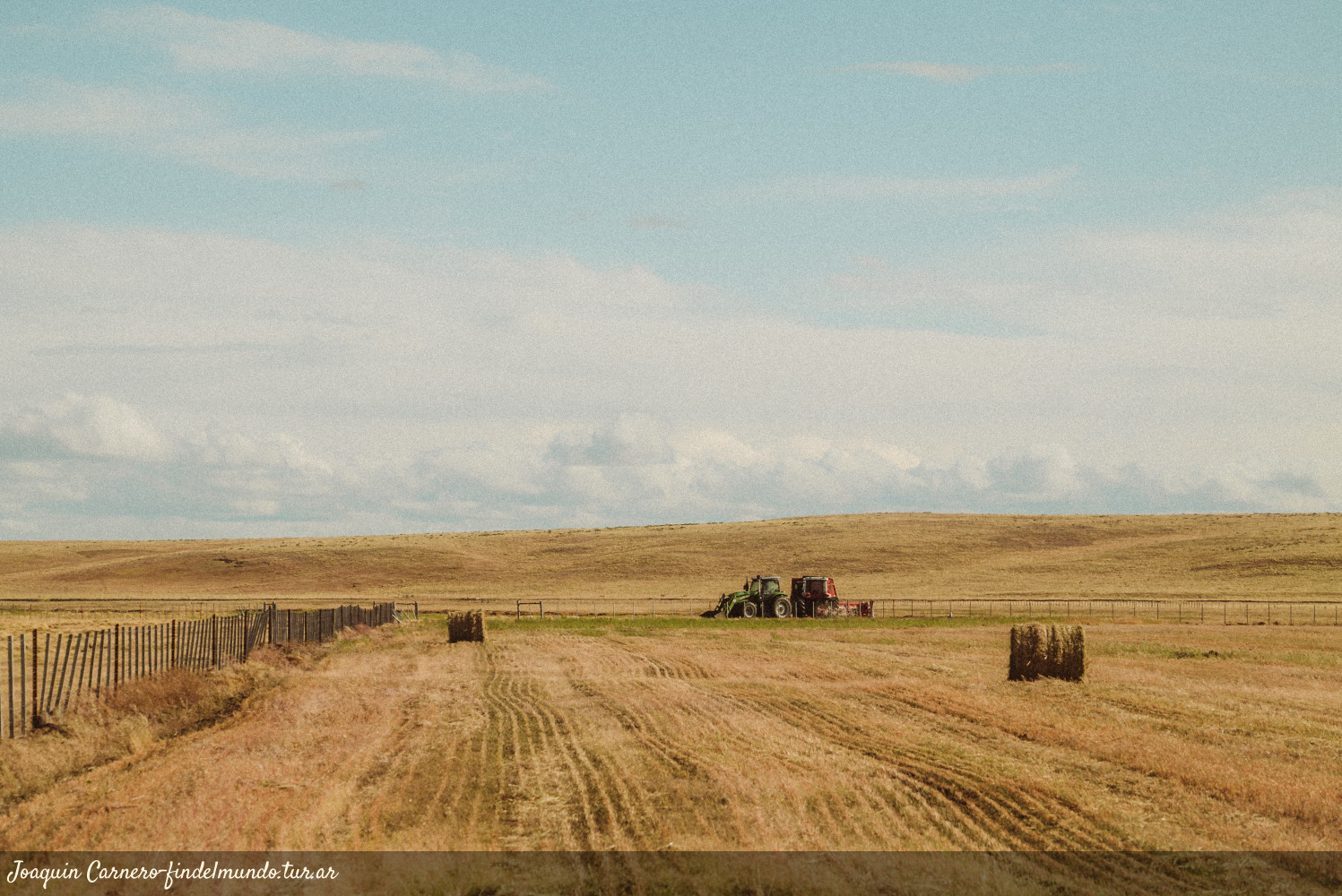
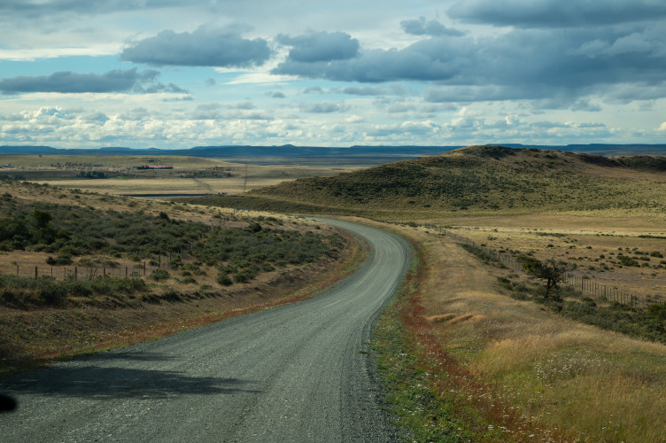
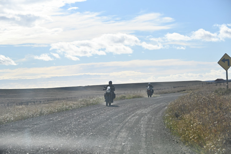
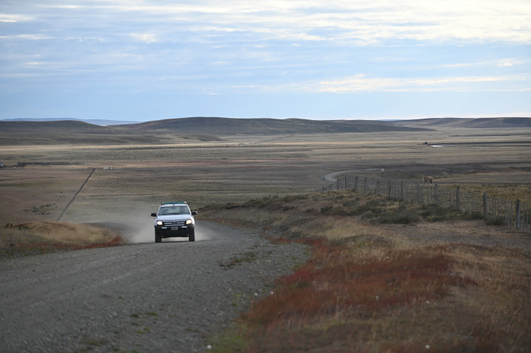
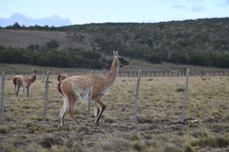
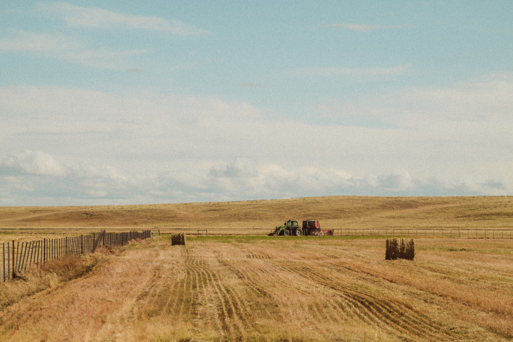
Branching off Route 3 there are gravel provincial roads leading to sites of natural and historical interest. Driving along them offers a chance to discover other facets of the "End of the World": winding roads across the vast steppe, historic ranches and bridges, livestock, guanacos and condors, and wide horizons displaying bright fiery sunsets.
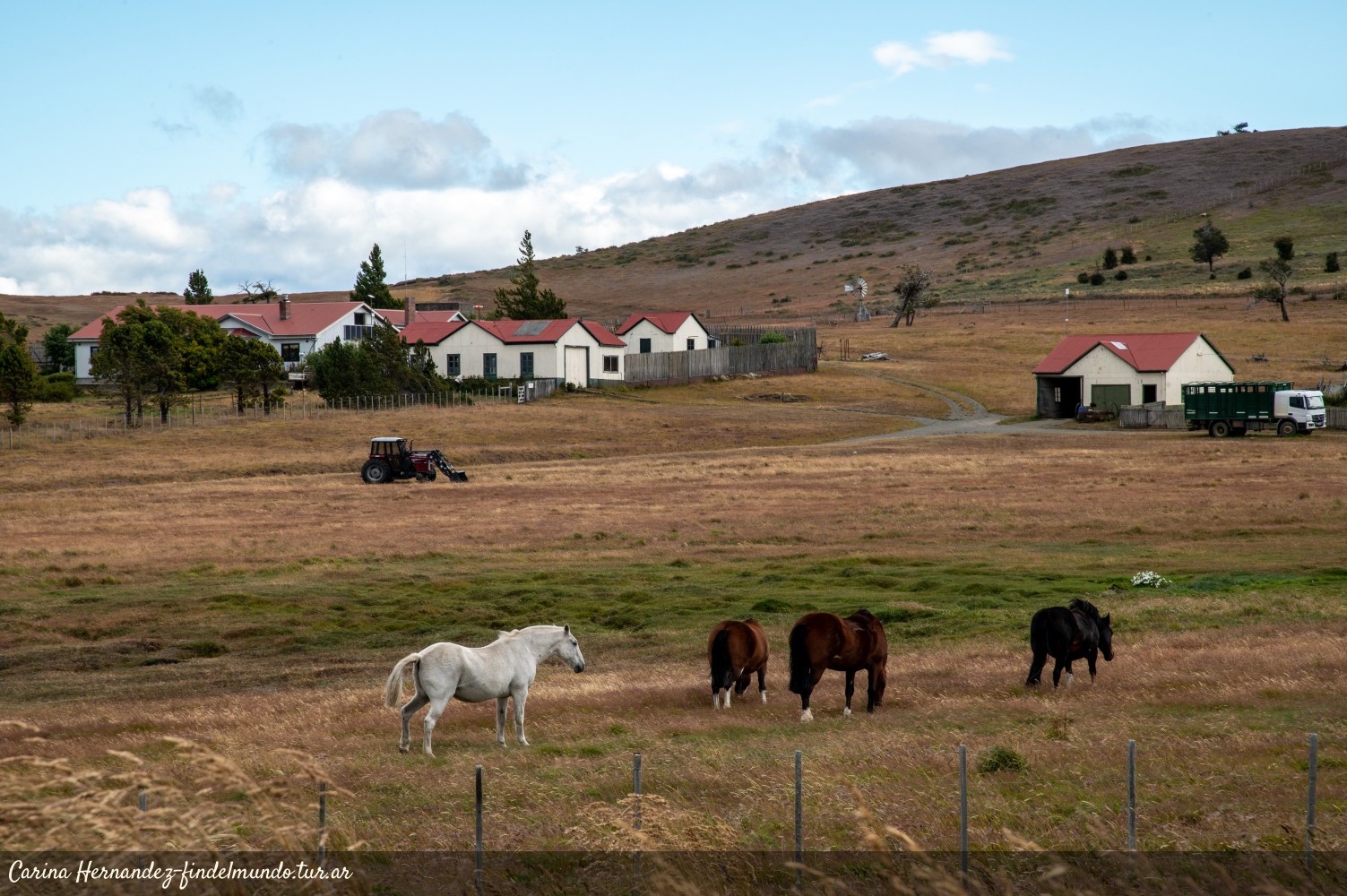
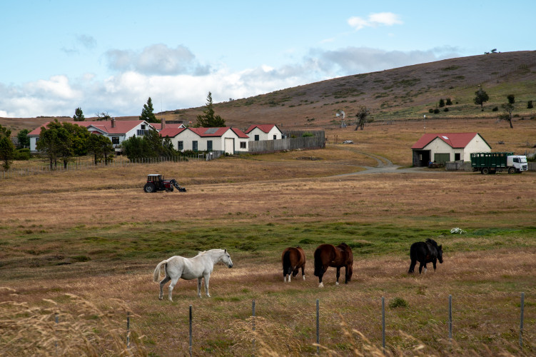
Provincial Route 5: Just a few kilometers from the city of Río Grande, this route leads to Estancia María Behety, a historic site linked to pioneers landlords and renowned for having the largest shearing shed in the world. The landscape around the ranch is pure steppe, typical of the island's northern region.
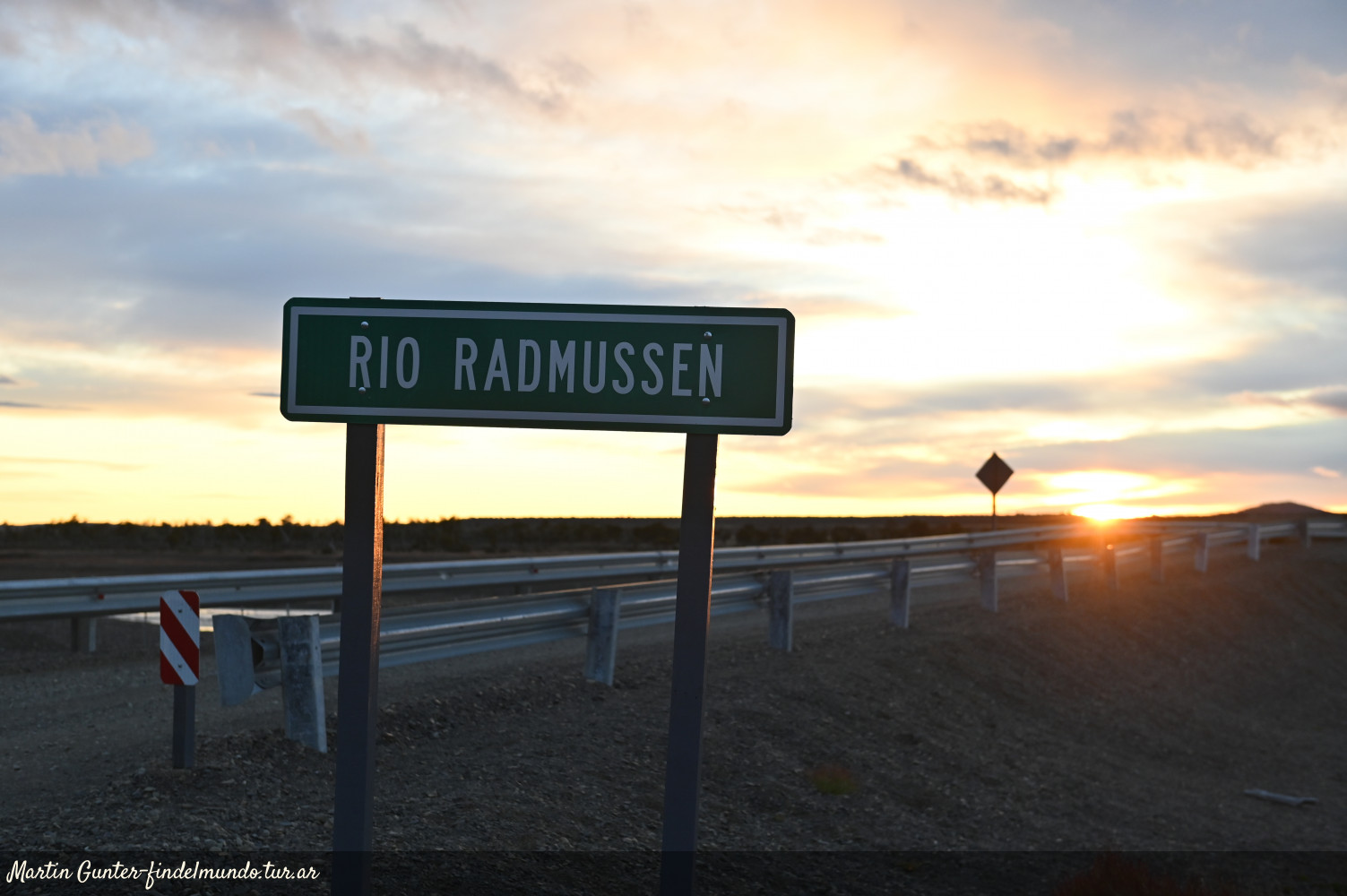
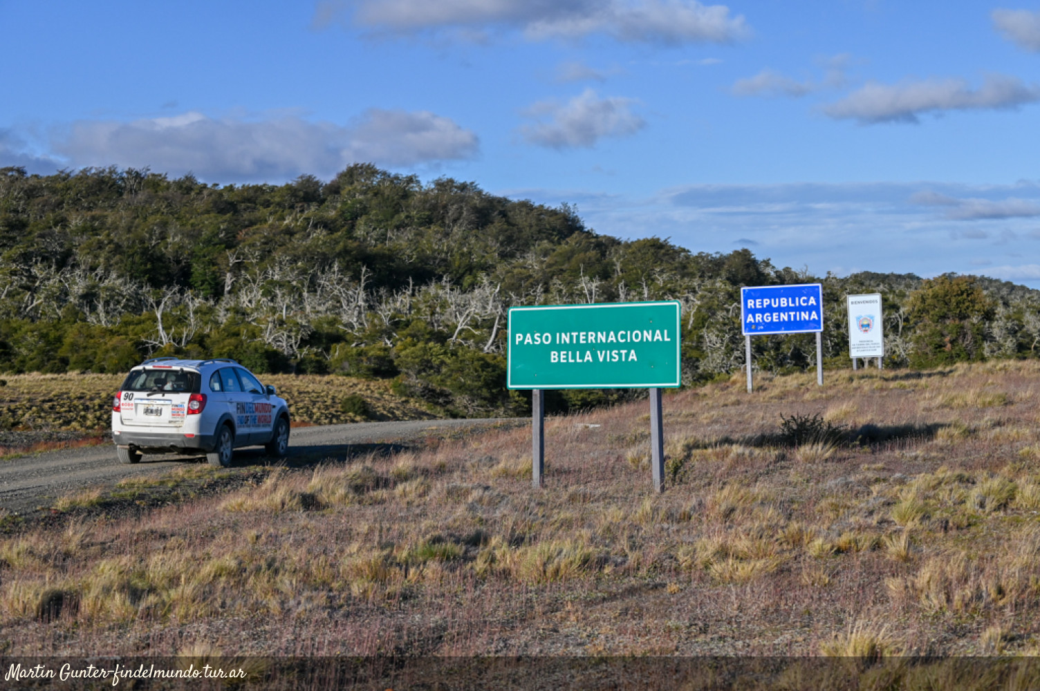
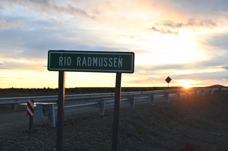
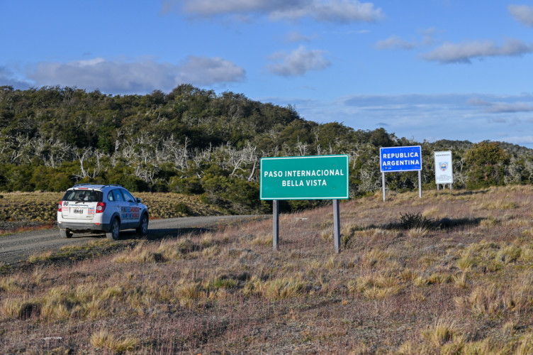
Supplementary Route B: This route leads to the Bellavista Border Crossing (formerly Radman), located 85 kilometers from Río Grande. Due to weather conditions and the state of the gravel road, this access to Chile is open only during the summer season. The road crosses the Bellavista River, also known as Rassmussen.
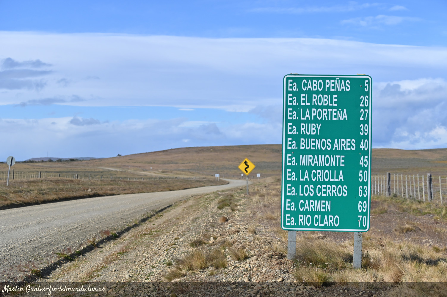
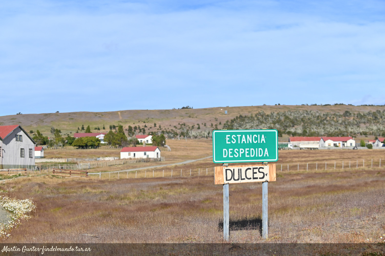
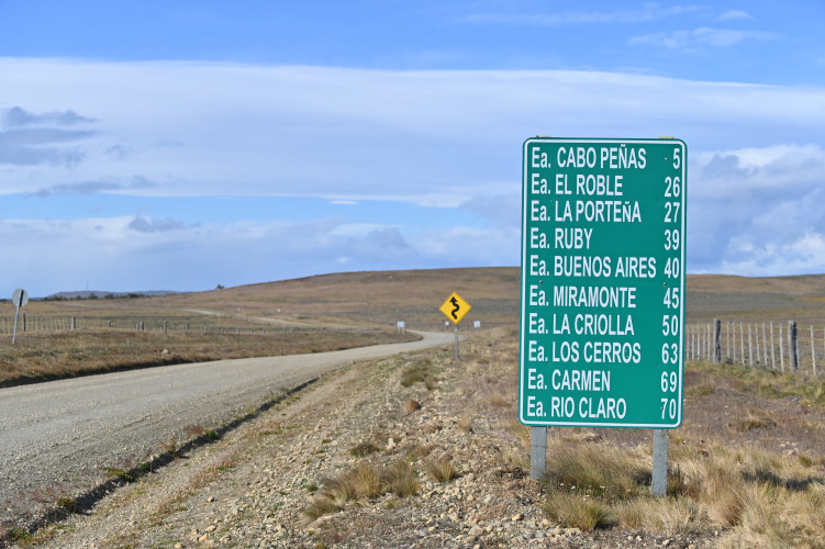
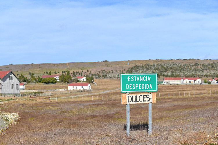
Provincial Route 9: Along its 68-kilometers you can see the traces of a long history of ranching and rural life, featuring steppe landscapes, livestock, and old wooden structures. Several ranches—or estancias—are located in this area, including Cabo Peñas, El Roble, Ruby, and Buenos Aires. In its final section, this route connects with Provincial Route 18, which leads to the Corazón de la Isla Nature Reserve.
Provincial Route 18: Spanning just over 50 kilometers, this route traverses the ecotone, an area characterized by forests, shrubs, and plains that transition into steppe terrain toward the North. As you drive, you can see several ranches, such as Rivadavia, Los Cerros, Indiana and Estancia ex-Carmen. This same route provides access to Lakes Chepelmuth and Yehuin—beautiful, forest-surrounded locations that are ideal for a moment of contemplation and relaxation.
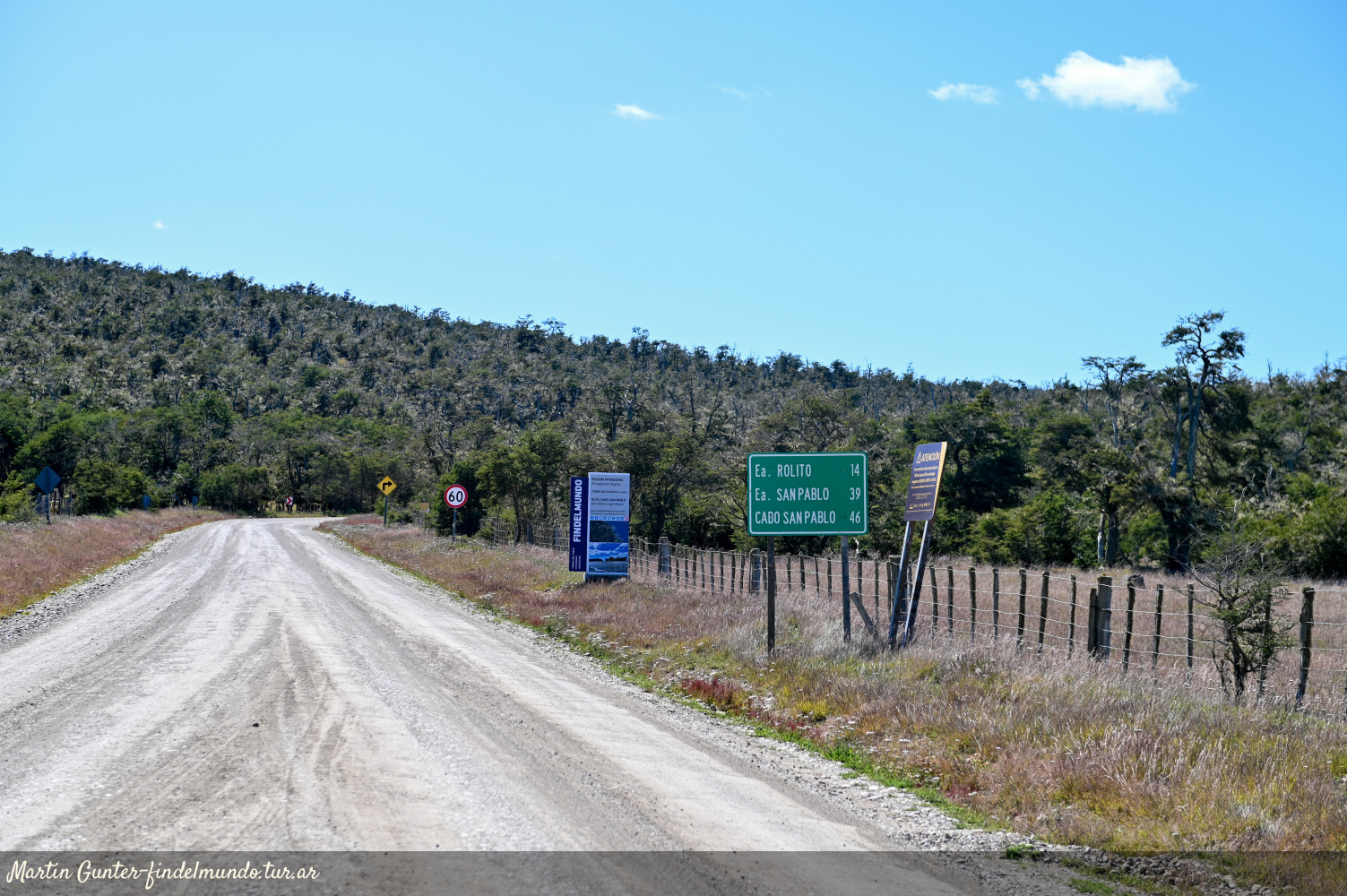
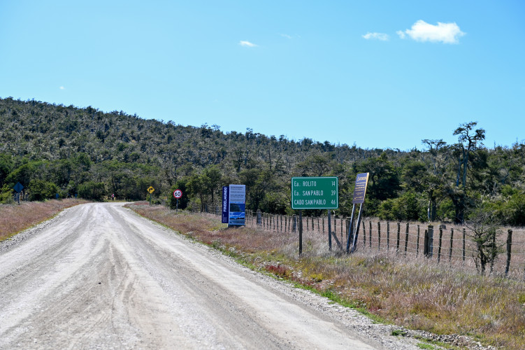
Provincial Route A: The access is near the town of Tolhuin. This route spans 80 kilometers, traverses an area of low forests and plain fields, and ends at the Atlantic coast. The Estancia Rolito and Estancia San Pablo are located in this area. At the end of the route, set amidst cliffs and sandy beaches, lie the shipwreck of a ship called Desdémona, and the Cape San Pablo lighthouse.
Provincial Route 27: Located near Tolhuin, this route covers approximately 25 kilometers and climbs toward the Cerro Jeujepén area, where a viewpoint offers excellent panoramic views of Lake Fagnano.
The island's scenic drives
Explore the landscapes and roads of Tierra del Fuego
The island of Tierra del Fuego has a variety of landscapes defined by striking contrasts. The northern area is dominated by steppe, large rivers, and the Atlantic Ocean. This is where the southernmost stretch of National Route 3 begins—at the Hito 1, which marks the border with the Republic of Chile. Serving as the province's main access route, it connects the three towns of Tierra del Fuego—Río Grande, Tolhuin, and Ushuaia—as it traverses the Andes mountain range.
Branching off Route 3 there are gravel provincial roads leading to sites of natural and historical interest. Driving along them offers a chance to discover other facets of the "End of the World": winding roads across the vast steppe, historic ranches and bridges, livestock, guanacos and condors, and wide horizons displaying bright fiery sunsets.
Provincial Route 5: Just a few kilometers from the city of Río Grande, this route leads to Estancia María Behety, a historic site linked to pioneers landlords and renowned for having the largest shearing shed in the world. The landscape around the ranch is pure steppe, typical of the island's northern region.
Supplementary Route B: This route leads to the Bellavista Border Crossing (formerly Radman), located 85 kilometers from Río Grande. Due to weather conditions and the state of the gravel road, this access to Chile is open only during the summer season. The road crosses the Bellavista River, also known as Rassmussen.
Provincial Route 9: Along its 68-kilometers you can see the traces of a long history of ranching and rural life, featuring steppe landscapes, livestock, and old wooden structures. Several ranches—or estancias—are located in this area, including Cabo Peñas, El Roble, Ruby, and Buenos Aires. In its final section, this route connects with Provincial Route 18, which leads to the Corazón de la Isla Nature Reserve.
Provincial Route 18: Spanning just over 50 kilometers, this route traverses the ecotone, an area characterized by forests, shrubs, and plains that transition into steppe terrain toward the North. As you drive, you can see several ranches, such as Rivadavia, Los Cerros, Indiana and Estancia ex-Carmen. This same route provides access to Lakes Chepelmuth and Yehuin—beautiful, forest-surrounded locations that are ideal for a moment of contemplation and relaxation.
Provincial Route A: The access is near the town of Tolhuin. This route spans 80 kilometers, traverses an area of low forests and plain fields, and ends at the Atlantic coast. The Estancia Rolito and Estancia San Pablo are located in this area. At the end of the route, set amidst cliffs and sandy beaches, lie the shipwreck of a ship called Desdémona, and the Cape San Pablo lighthouse.
Provincial Route 27: Located near Tolhuin, this route covers approximately 25 kilometers and climbs toward the Cerro Jeujepén area, where a viewpoint offers excellent panoramic views of Lake Fagnano.